- Play
- Shopping
- Antiques
- Boutiques and Unique Shops
- Groceries
- Sporting Goods & Outdoor Gear
- Retail
- Arts & Culture
- Scenic Drives
- Community Recreation Center
- Outdoors
- Museums
- Museum of the Mountain West
- Montrose Historical Museum
- Ute Indian Museum
- Historical Sites and Tours
- Black Canyon National Park
- Camping
- Rock Climbing
- Hiking
- History
- Outfitters & Guides
- Activities
- Hiking
- Fishing
- Golfing
- River Rafting & Kayaking
- Rock Crawling
- Astronomy
- Biking
- Mountain Biking
- Road Biking
- Camping
- Rock Climbing
- Horseback Riding
- Hunting
- Water Sports Park
- Off-Roading
- Birding
- Winter Activities
- Skiing and Snowboarding
- Snowmobiling
- Snowshoeing and Cross Country Skiing
- Ice Climbing
- Fat Biking
- Colorado National Parks Loop
- Wilderness Areas & Parks
- Curecanti National Recreation Area
- Dominguez-Escalante National Conservation Area
- Gunnison Gorge National Conservation Area
- Owl Creek Pass and Silver Jack Reservoir
- Ridgway State Park
- Uncompahgre Plateau
- Grand Mesa National Forest
Hiking Near Montrose
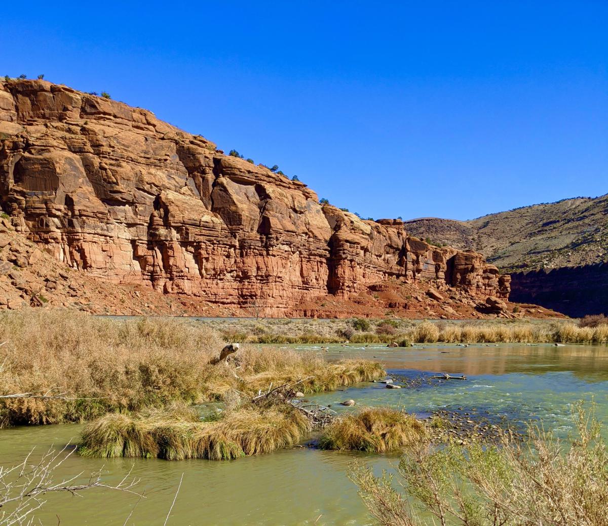
Many of Colorado’s most outstanding places are accessible only on foot. Montrose is surrounded by opportunities to explore some of the most beautiful countrysides in the West. All levels of hikers, from families and novice adventurers to hardcore backpackers and campers, can enjoy the thrill of discovering Colorado’s hidden gems.
Choose from short jaunts on the city’s riverside Connect Trail system or venture into remote mountain and wilderness areas for multi-day backpacking trips.
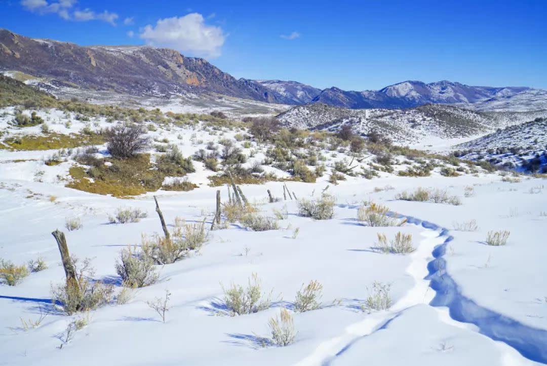
Lower elevation terrain in the river valleys is suitable for hikes throughout the year, but especially during the cooler winter months. Mountain hikes offer scenery and flora and fauna that are truly spectacular but best accessed in the warmer summer months.
If you choose to venture into remote areas, please go prepared. Trail maps and navigation aids, such as a GPS device, are recommended. The COTrex app is a phenomenal resource that can be used even when cell service is scarce. Be sure to wear sturdy footwear and bring water, high-energy snacks, and extra clothing in case of a longer-than-expected trek.
Check the weather forecast before departing – some unimproved roads and trails, particularly at lower elevations, can become difficult to navigate after heavy rain or snow. Always let someone know your intended route in case of an emergency. Finally, Care for Colorado and Leave No Trace on all of your adventures!
Gunnison River Hikes:
Mesa Creek Trail (Curecanti National Recreation Area) - All vehicles. 1.5 miles round trip. Easy. Follow Morrow Point Dam Road to the parking lot below Morrow Point Reservoir. The river here is wide and deep, offering plenty of opportunities for big fish.
Pine Creek Trail (Curecanti National Recreation Area) - All vehicles. 2 miles round trip. Moderate difficulty. Hike along an old railroad bed next to the reservoir with fishing opportunities. You can also launch a small raft or kayak here if you're up for carrying it down 180 feet worth of steps.
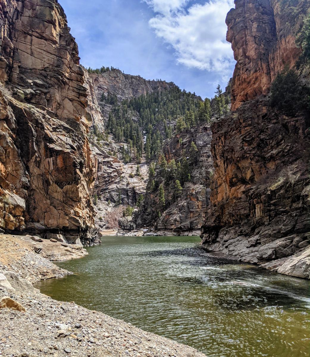
Curecanti Creek Trail (Curecanti National Recreation Area) - All vehicles. 4 miles round trip. Moderate-strenuous difficulty. A steep but well-maintained trail down to Morrow Point Reservoir and the Curecanti Needle.
Gunnison River Pleasure Park (Gunnison Gorge National Conservation Area) - All vehicles. Easy access to the confluence of the North Fork and Gunnison rivers. You can also cross the North Fork and hike along the Gunnison River to the Smith Fork for up to 8 miles round trip. The hike itself is moderately difficult but the river crossing can be challenging in high water.
Chukar Trail (Gunnison Gorge National Conservation Area) - High clearance vehicles. 2.2 miles round trip. Moderate difficulty. Heavy foot, horse, and boat traffic due to the raft launch on this trail. Chukar has 560 feet of elevation gain.
West River Trail (Gunnison Gorge National Conservation Area) - Moderate clearance vehicles. 5 miles round trip. Moderate difficulty. Excellent fishing access along South River Road on the way in. Read our blog post on this trail.
Ute Trail (Gunnison Gorge National Conservation Area) - High clearance vehicles. 9 miles round trip. Strenuous. Well maintained trail with many switchbacks leading down to the river. Ute Trail has 1200 feet of elevation gain.
Duncan Trail (Gunnison Gorge National Conservation Area) - High clearance vehicles. 3 miles round trip. Strenuous. The last half-mile is very steep with loose rock. Duncan Trail has 840 feet of elevation gain.
Bobcat Trail (Gunnison Gorge National Conservation Area) - High clearance vehicles. 2 miles round trip. Strenuous. The last half-mile is very steep, requiring basic rock climbing skills. Bobcat Trail has 800 feet of elevation gain.
Winter Hikes:
Cerro Summit (Off of US Hwy 50) - All vehicles. Distance depends on trails taken. Moderate. A few different trails wind their way across Cerro Summit and can be done in snowshoes or in hiking boots once trails have been packed down.
Enchanted Mesa Trail (Ridgway State Park) - All vehicles. 5.2 miles round trip. Moderate. Begin the trail by parking at the Pac-Co-Chu-Puk entrance to the state park. A day-use fee is required. The trail climbs up onto a mesa that overlooks Ridgway Reservoir, the Sneffels Range, and the Cimarron Range.
Eagle Valley Trail (Gunnison Gorge National Conservation Area) - All vehicles. 2 miles round trip. Easy. Eagle Valley Trail heads east for about 1 mile before it connects with other trails and can be extended from there. It is a shared-use trail (motorcycle, mountain bike, horseback, and hike) that follows the bottom of a small canyon, which in places is very narrow. This is a good hike for families and kids.
Rim Rock Trail (Black Canyon National Park) - All vehicles. 2 miles round trip. Easy. The trail begins at the Black Canyon's Visitor Center and heads south along the canyon rim with stunning views the entire time. Dogs are allowed on this trail but must be leashed. A fee is required to enter the national park in the summer months but is waived during the winter.
Dillon Pinnacles Trail (Curecanti National Recreation Area) - All vehicles. 3.7 miles round trip. Easy. The trailhead is located east of Montrose right off of US Hwy 50. The trail begins along the edge of Blue Mesa Reservoir and ends with stunning views at the base of the Dillon Pinnacles. Dogs are allowed on this trail but must be leashed.
Big Dominguez Canyon Trail (Dominguez-Escalante National Conservation Area) - All vehicles. Up to 14 miles but can be made shorter by turning around at any point. Moderate. The Bridgeport Trailhead is located north of Montrose and will lead you to the Big Dominguez Canyon Trail. Petroglyphs, waterfalls, and big canyon views will have you wondering if you're in Colorado or in Utah.
McCarty Trail (Dominguez-Escalante Conservation Area) - All vehicles. Up to 13.5 miles but can be made shorter by turning around at any point. Moderate. A desert hike with canyons, views of the San Juan Mountains, and the Grand Mesa.

Grand Mesa, Uncompahgre and Gunnison
National Forest
The Grand Mesa, Uncompahgre and Gunnison National Forest lands provide an astounding variety hiking and backpacking opportunities. In the San Juan Mountains you’ll witness incredible views full of wildflowers, sheer cliffs, aspens, and mountain streams. There are also trails that lead to abandoned mines, remote and rugged landscapes, and plenty of waterfalls. Adventurous hikers can scale one or more of the San Juan’s “fourteeners.” Enjoy breathtaking 360-degree views of the surrounding valleys atop the Grand Mesa’s Crag Crest Trail. See the Maps and Online Resources tab on this page for access to trail information for each area.
Maps and Online Resources
- National Forest Hiking and Trail Maps - Cimarron Area
- National Forest Hiking and Trail Maps - Grand Mesa Area
- National Forest Hiking and Trail Maps - North Fork Area
- National Forest Hiking and Trail Maps - Ouray Area
- National Forest Hiking and Trail Maps - Telluride Area
- National Forest Hiking and Trail Maps - Uncompahgre Plateau
- National Forest Hiking and Trail Maps - Soap Creek Area


